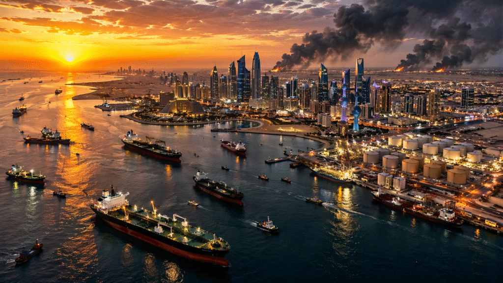
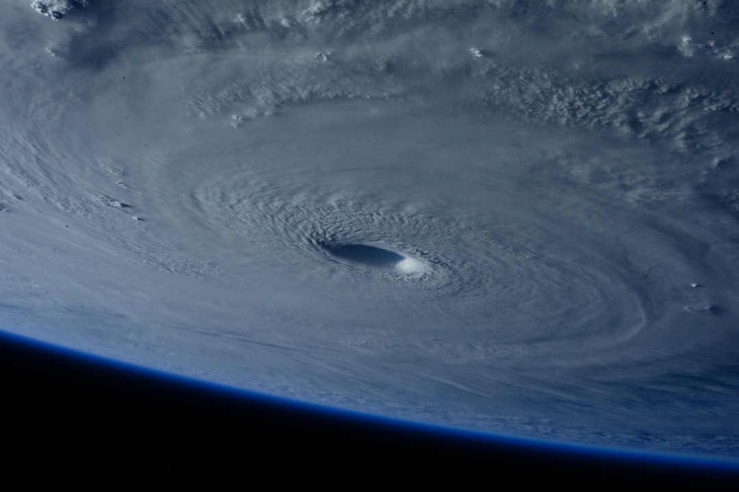
Two powerful hurricanes are putting communities thousands of kilometres apart on alert, turning the Pacific into the centre of a fast-moving weather emergency.
Hurricane Polo was moving away from Mexico’s southwestern coast early Friday after sending destructive surf, torrential rain and seawater into exposed communities. Farther west, Hurricane Nolo was strengthening south of Hawaii, where forecasters warned that extreme rainfall could trigger life-threatening flash floods and mudslides even if the storm’s centre stays offshore.
The two storms are separate systems, but their simultaneous threats show why a hurricane’s category and projected track tell only part of the story. For residents in Mexico and Hawaii, the most immediate danger is water: coastal inundation and waves in one region, and the possibility of prolonged rainfall over steep, already saturated terrain in the other.
Polo remains dangerous after damaging Mexico’s coast
At 8 p.m. local time Thursday, the U.S. National Hurricane Center placed Polo about 150 miles off Mexico’s Pacific coast, with maximum sustained winds near 150 mph. The storm was forecast to regain Category 5 strength on Friday before weakening gradually, though its circulation was still capable of sending dangerous rain, surf and rip currents toward land.
Polo had already left visible damage. In Lázaro Cárdenas, a port city in Michoacán, seawater swept into homes and powerful waves damaged seaside businesses, according to Associated Press reporting published September 25. Residents and officials were clearing mud, furniture and broken wooden structures on Thursday.
The greatest continuing concern stretched across Guerrero, Michoacán, Colima and Jalisco. Mexico’s civil-protection authority said Polo had generated very heavy to intense rain, strong coastal winds and dangerously high seas, and urged residents to stay away from beaches, river crossings and floodwater. In a September 23 public warning, officials said coastal waves could push seawater farther inland and advised people in vulnerable areas to follow evacuation orders immediately.
Authorities deployed thousands of security personnel and suspended classes in affected areas. Those measures reflect the region’s recent experience: southwestern Mexico contains steep terrain, low-lying settlements and fishing communities where intense rainfall can quickly become a landslide or flash-flood emergency. Polo’s eye remaining offshore does not remove that risk.
Nolo’s rainfall may be the greater threat to Hawaii
Nolo became a hurricane Thursday evening. At the 5 p.m. Hawaii Standard Time advisory, forecasters estimated sustained winds of 75 mph and said the storm was moving slowly north-northeast. The forecast called for significant strengthening before Nolo turns west and passes near or just south of the Big Island over the weekend.
The track had shifted somewhat south, but officials stressed that hazardous conditions extend far beyond a hurricane’s centre. A tropical-storm warning and hurricane watch covered the Big Island, while a tropical-storm watch covered Maui County.
The National Weather Service in Honolulu warned that 15 to 30 inches of additional rain could fall over windward and southeastern parts of the Big Island. Maui could receive 4 to 8 inches, with isolated totals reaching 15 inches. Forecasters said such amounts could produce “locally catastrophic” flash flooding and mudslides, including in places not normally considered flood-prone.
Rain bands were expected to reach the Big Island before the storm’s closest approach. Large surf and dangerous rip currents were also forecast for south- and east-facing shores, while tornadoes or waterspouts were considered possible near the Big Island.
Hawaii’s vulnerability is heightened by what came before. The same southeastern section of the Big Island was flooded by Hurricane Lala in August, and parts of the ground remain wet. The AP reported that some communities were isolated and roads washed out during that earlier storm. Hawaii activated more than 230 National Guard members, closed schools for the rest of the week and urged residents to complete emergency preparations.
Forecast uncertainty does not mean the threat is uncertain
A hurricane forecast is a range of possible outcomes, not a promise that the centre will follow a single line. Nolo’s precise path could still change, and Polo’s intensity has fluctuated between Categories 4 and 5. But the central public-safety message is more stable: both storms can cause severe impacts without a direct landfall.
For Mexico, lingering rain can destabilize hillsides after the strongest winds move away. For Hawaii, a slower storm can keep feeding moisture over the same terrain, increasing runoff and overwhelming streams. Wind direction and mountain slopes can also concentrate rainfall far from the forecast centre.
The storms are unfolding during an active Pacific season influenced by El Niño, which typically favours tropical-cyclone activity in the Pacific while suppressing it in the Atlantic. That background helps explain the broader pattern, but it does not by itself establish how much any one storm was intensified by long-term climate change. Attribution requires a separate scientific analysis after the event.
What happens next
In Mexico, attention will remain on river levels, landslide-prone roads and damaged coastal communities even as Polo moves farther offshore. In Hawaii, the critical period begins Friday as Nolo’s rain bands expand and continues through the weekend. The storm is forecast to strengthen, but rainfall distribution—not only the number attached to its wind category—will determine much of the damage.
Residents in affected areas should rely on official local alerts, avoid floodwater and exposed coastlines, and leave immediately if authorities order an evacuation. Forecast details in this report were current early Friday, September 25, and may change rapidly.
Sources: National Hurricane Center; National Weather Service Honolulu; Mexico’s National Civil Protection Coordination; Associated Press; Reuters.